Lake Superior Gales Guide Near Tofte, Minnesota
November 2026
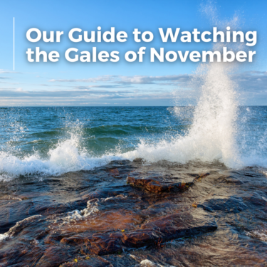
The lake can be calm at breakfast and throwing spray above the shoreline by lunch. Near Tofte, that rapid change is part of storm watching, and Cliff Dweller guests have an unusual advantage: every room faces Lake Superior with a floor to ceiling window in a sliding door onto your balcony, so the first viewing decision can be made without stepping near the surf.
Use the Balcony as a Weather Station
Cliff Dweller sits between Tofte and Lutsen on a cliff above the lake. The elevated view reveals the difference between scattered whitecaps and an organized field of waves. It also shows how visibility changes when rain or wet snow moves across the water.
Stay inside the room or behind the balcony railing during the roughest conditions. Wind can lift loose gear, so bring chairs, towels, and lightweight items indoors. The balcony is not a place to lean out for a photograph.
See Tofte's Shoreline From Protected Ground
Tofte's public shoreline areas are only a short drive southwest on Highway 61. The harbor setting gives a useful comparison with the exposed water visible from Cliff Dweller. Waves may wrap around structures, rebound off rock, and create complex currents even when the inner water appears calmer.
Most visitors focus only on wave height. The overlooked danger is the gap between large sets. Several quiet minutes do not mean the storm has eased, and a later breaker can reach much farther up the shore. Stand well back on firm, public ground.
Watch Water Move at Temperance River
Temperance River State Park is southwest of Tofte and combines Lake Superior shoreline with a river gorge. During storm season, visitors can see two different water systems responding to the same weather. Rain can swell the river while wind drives surf against the lake coast.
This is not the day for edging onto slick basalt or approaching the mouth of the river. Use signed trails and overlooks, obey closures, and turn around when spray begins reaching the walking surface. Families should select the shortest established viewpoint rather than attempting a full park hike in worsening weather.
Compare the Sheltered and Exposed Sides of Grand Marais
Grand Marais sits about 25 miles northeast of Cliff Dweller. Its harbor and Artist's Point make wave behavior easy to read because protected water, open lake, and breakwaters appear in one broad scene. Photographers can work from shore while restaurants and shops provide a warm reset nearby.
Never use the outer breakwall as a viewing platform in high surf. The route may look familiar from a calm summer visit, but cold water, wind, and spray remove the margin for error. A shore-based view also gives a better sense of scale.
Pick the Stop After Checking Wind Direction
North Shore storms are not interchangeable. An east or southeast wind can drive water into exposed bays differently than a northwest wind behind a passing system. Before leaving, compare the hourly wind direction with a map of the shoreline.
Then check the marine forecast, highway conditions, park alerts, and sunset time. In November, daylight disappears early and wet pavement can turn icy after temperatures fall. The common mistake is setting out late because the drive looks short on a map.
Build a Storm Kit for the Car
A useful storm kit is simple: waterproof jackets, warm gloves, traction-friendly footwear, dry socks, a flashlight, and a cloth for wet camera gear. Keep phones charged and download the route before leaving Tofte. Cellular coverage can vary along sections of Highway 61 and inside river corridors.
Photographers should use a lens hood and work from a stable stance. Salt is not the issue on Lake Superior, but windblown spray can still coat equipment quickly. Change lenses in the vehicle, not on an exposed overlook.
North Shore Gale Q&A
What Month Has the Biggest Lake Superior Gales?
Late October and November are closely associated with strong North Shore storms. Large waves can happen at other times, so current marine conditions matter more than the date alone.
Can Guests Watch Waves From Cliff Dweller?
Yes. The lake-facing rooms and private balconies provide an elevated view. Remain behind the railing and move loose items indoors during strong wind.
Is Temperance River State Park Safe During a Storm?
Conditions determine what is safe. Stay on open, signed routes, avoid wet rock and the immediate shoreline, and follow every park closure or warning.
How Far Is Grand Marais From Tofte?
The drive is about 25 miles along Highway 61. Allow extra time for rain, spray, construction, wildlife, and early winter road conditions.
Should We Watch a Lake Superior Gale After Dark?
Daylight is the better choice. Darkness hides wave reach, ice, loose rock, and changes in shoreline conditions.
Let the Lake Come to the Viewpoint
Cliff Dweller already provides the rare thing storm watchers usually drive around to find: height, open water, and shelter close at hand. Use that view first, and add a public overlook only when daylight, roads, and alerts all support the trip.